The Well of High Usworth
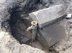
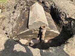
In May 2018, High Usworth residents Margaret and Ian Porter, whilst landscaping their garden, which borders on Well Bank Road, discovered the remains of an old well. The stone top of the well, above a stone cistern to hold the water, has chiselled lettering, which reads “RE-ERECTED BY THE CHESTER LE STREET RURAL SANITARY AUTHORITY”. Underneath there is a date – the last two figures are unclear, but the date is probably 1874. The lugs near the spout suggest that there might originally have been a pump handle to the side of the tap.
Rural Sanitary Establishments were formed in 1872, being responsible for public health matters such as providing clean drinking water, sewers, street cleaning and clearing slum housing. They were eventually superseded by Urban District Councils under the Local Government Act of 1894. The well would probably have fallen into disuse following the installation of mains water to High Usworth Village. We currently do not have a date for this.
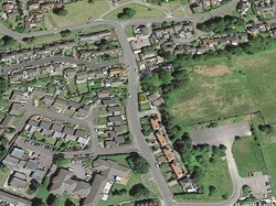
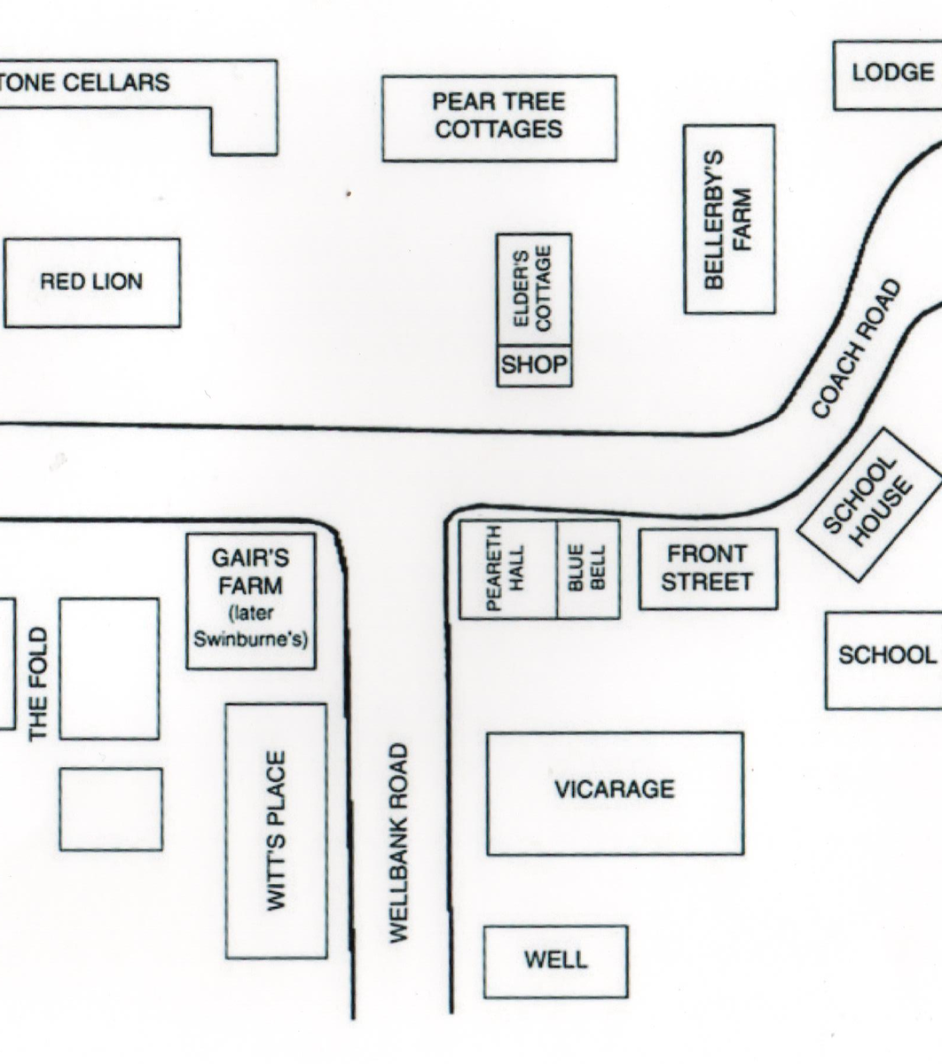
The well is located on the left-hand side of Well Bank Road going downhill. A hand-drawn map of High Usworth donated by a former local resident, identifies the main features of the village in the early 20th Century. It shows the well was located just downhill from the Vicarage.
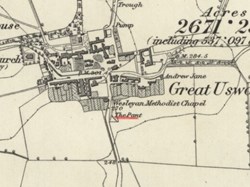
The Ordnance Survey map of 1857 below shows an even earlier location for the well. It was situated at the bottom of Well Bank, on the opposite side of the road, and is shown as “The Pant”. A Pant was a stone structure or trough which supplied drinking water from a natural spring.
Several restored examples are still in existence, notably at West Auckland, Embleton and Whittingham. It is known that the High Usworth Pant shown on the map was a site where horses travelling from Newcastle, via Gateshead and Springwell, were rested and watered. Note also the map extract shows another pump to the north of Great Usworth.
It is likely that a well, in various forms, has been in existence on Well Bank for many generations. Well Bank Road and the District of Donwell obviously take their names from the well. The inscription on the top of the excavated well shows that this was the structure which was later re-located further up the bank.
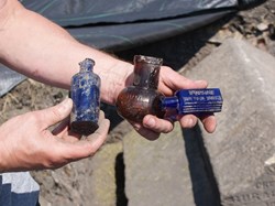
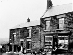
While excavating the well, Mr Porter unearthed a number of old bottles. It was known that a shop was in existence on the opposite side of the road in the 1920s, owned by the Witts family, former Belgian refugees. The photograph below shows the family and their shop, with bottles of various shapes in the window. The shop appears to have been a general dealers.
We understand that Mr and Mrs Porter intend to make the well structure a central feature of their garden design. Sunderland Museum has been informed of the discovery.
If any reader can supply any further information please contact our website.
